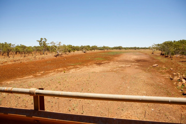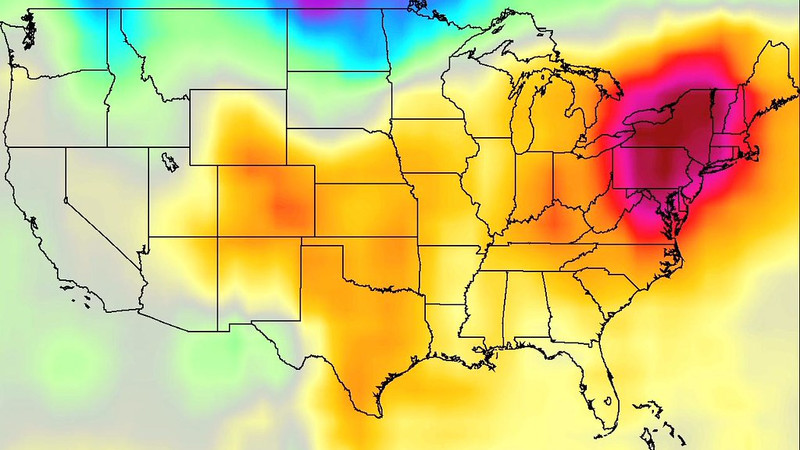
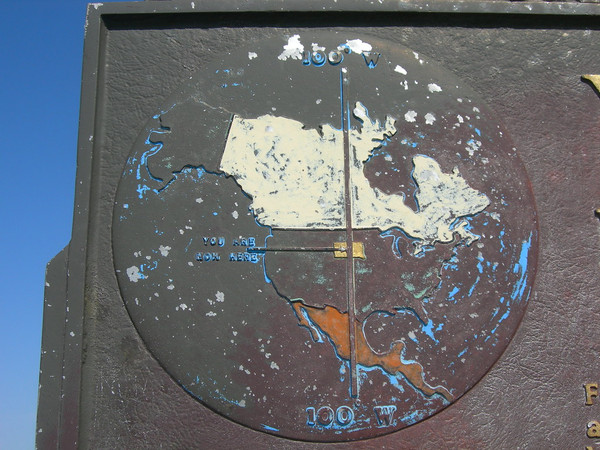
The 100th meridian has always been North America’s invisible continental hinge. Running roughly from the Dakotas down through Texas, it marks the point where average annual rainfall drops below twenty inches and the lush eastern ecosystems give way to the semi-arid High Plains and the deserts beyond. What John Wesley Powell recognized in the 1870s—that the West was too dry for traditional, rain-fed agriculture—remains painfully relevant today. In fact, the distinction is sharpening: west of the line, the land is drying out; east of it, the nation’s population and productive farmland remain heavily concentrated.
West of the 100th meridian, the Jeffersonian ideal of the small, independent farming family was always a gamble against geography. Precipitation is not only sparse but erratic, dependent on mercurial winter snowpack and thunderstorm patterns that can fail for years at a stretch. The agricultural oasis that did emerge was largely an artifact of the Industrial Age: massive federal dams, river diversions, and, most critically, the Ogallala Aquifer. For decades, fossil water allowed center-pivot irrigation to turn the dry plains of Kansas, Nebraska, and the Texas Panhandle into some of the most productive agricultural acres on Earth. But the Ogallala is a non-renewable bank account, and in many places the water table is dropping so fast that the term “traditional farming area” is becoming historical rather than current. As drought cycles intensify and temperatures rise, the West’s carrying capacity for conventional row-crop agriculture is contracting. Ranching, which requires fewer inputs per acre than corn or wheat, is already reasserting itself as the more realistic dryland vocation.
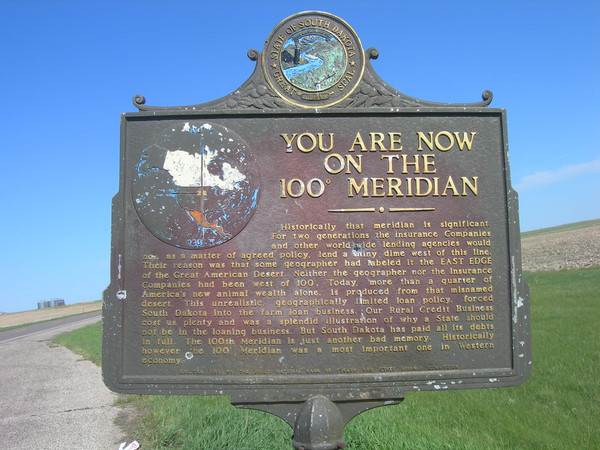
West of the 100th meridian, aquifers are not merely water sources; they are lifelines drawn from prehistoric reserves. Unlike the East, where groundwater is generally replenished by reliable rainfall, the aquifers underlying the High Plains, Great Basin, and Southwest are largely non-renewable on human timescales. The most consequential is the Ogallala Aquifer, the vast subterranean lake stretching beneath portions of South Dakota, Nebraska, Colorado, Kansas, Oklahoma, Texas, and New Mexico. For decades it has allowed irrigated corn, wheat, and cotton to flourish on arid land, but in many regions—especially the Texas Panhandle and western Kansas—the water table is plummeting by several feet per year in some places. Extraction routinely exceeds natural recharge by orders of magnitude.
Elsewhere, the Edwards-Trinity, Dakota, and Basin and Range aquifers serve cities, ranchlands, and industry across Wyoming, Utah, Arizona, and New Mexico. These systems, too, are shrinking under the pressure of agricultural pumping, municipal demand, and now drought-deepened by climate change. In the Central Valley of California and around Phoenix, groundwater withdrawal has caused measurable land subsidence, permanently reducing aquifer storage capacity.
The fundamental reality is geological. Much of the West’s aquifer recharge depends on mountain snowmelt percolating through limited river corridors, a supply that is erratic and, in recent decades, diminishing. Where Eastern aquifers function like bank accounts with steady deposits, Western aquifers are being mined like coal seams—finite buffers against an arid climate. Once depleted, the agricultural productivity and population capacity they sustain will contract sharply, underscoring why the 100th meridian remains a hydrological border between renewable abundance and fossil scarcity.
The AI boom is pushing massive data center development into two of the driest corners of the United States, sharpening a tension between digital infrastructure and water scarcity.
Utah sits on the arid edge of the Great Basin, where drought and the shrinking Great Salt Lake already dominate policy debates. Data centers in the state are prodigious water consumers: the NSA facility in Bluffdale used more than 126 million gallons in a single year, while Aligned Data Centers locations in West Valley and West Jordan consumed 80 million and 47 million gallons respectively over the same period. Meta’s Eagle Mountain campus more than doubled its water withdrawals between 2021 and 2024, reaching 35 million gallons annually. Proposed projects, including a controversial Box Elder County development, have raised alarms over allocations of several million gallons per day. In response, Utah has enacted new transparency rules requiring developers to report estimated water use before construction begins, but critics argue the state is gambling its limited freshwater on tax-break-heavy tech hubs.
West Texas faces an even drier reality. In the Permian Basin around Midland and Odessa, annual rainfall is sparse and aquifers are stressed. A University of Texas study projects that data centers statewide could claim 9% of Texas water use by 2040—much of it indirectly through thermoelectric power generation. Yet West Texas is pioneering an unusual solution: treated produced water, the toxic, hypersaline byproduct of oil and gas drilling. Because the Permian generates vast volumes of this wastewater, developers and policymakers are promoting its desalination and reuse for server cooling. Major projects, including OpenAI-linked developments, are exploring the model. The state has only recently begun collecting comprehensive water-use data from facilities.
In both regions, the contradiction is stark: some of America’s thirstiest industries are expanding where water is least abundant. Utah is clamping down on freshwater disclosures, while West Texas is betting on turning fossil-fuel waste into a digital-age resource.
In short, the 100th meridian still divides two Americas: one where water is an assumed foundation of life and agriculture, and another where its absence dictates every calculation. The West may be mythologized as the frontier of limitless expansion, but its drying landscape is quietly enforcing limits that the wet, populous East does not face.